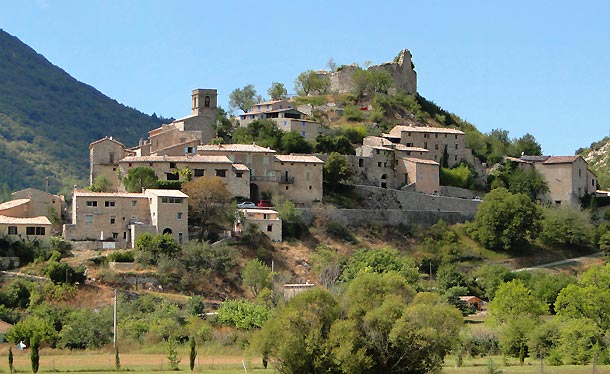
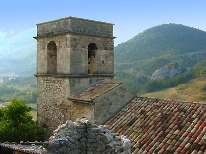
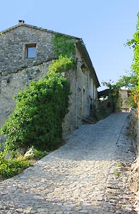
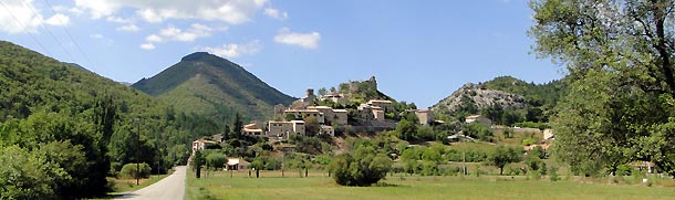
menu


Reilhanette

village of reilhanette

4 km from Aurel, 6 km from Aulan, 7 km from Ferrassières, 9 km from Sault, 10 km from Brantes, 11 km from la Rochette du Buis, 13 km from Monieux

GPS: Longitude : 5.42 E - Latitude : 44.168331 N
Population: 121
Altitude: 568 m

A medieval village situated at the entrance of the Toulourenc valley. Those that love ruins should not miss it. It stands under the remains of its 12th century feudal castle, from which there is a panoramic view of the extensive Ventoux mountain range, the community of Montbrun les Bains, of meadows and lavender fields.

tower of reilhanette lane of reilhanette

To see and visit: the Romanesque churches of Saint Michel and Saint Hyppolite.
Suggested activity: country walks.

panoramic view of reilhanette

Festivités : fête patronale : le dimanche suivant le 22 septembre.